District map
Haryana district map
Haryana has 22 districts in Maps by India Layer’s boundaries, each with its Local Government Directory (LGD) code. Colour them from your own spreadsheet and export a PNG or an editable SVG.
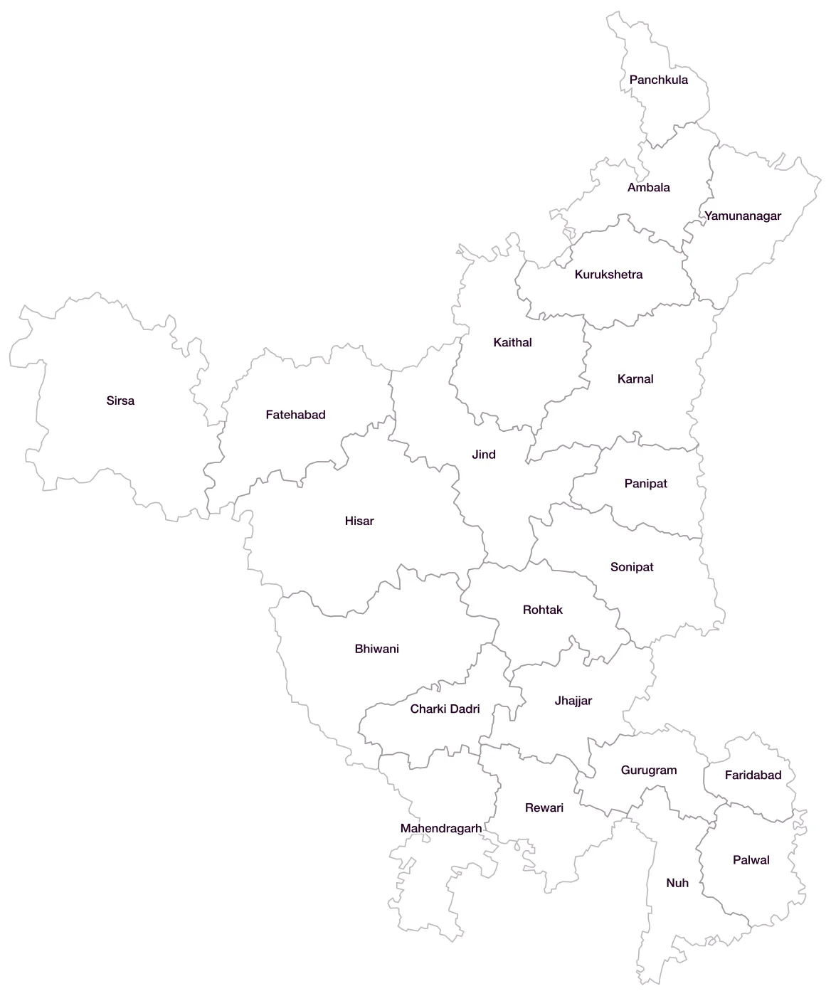
All 22 districts of Haryana
- AmbalaLGD 58
- BhiwaniLGD 59
- Charki DadriLGD 701
- FaridabadLGD 60
- FatehabadLGD 61
- GurugramLGD 62
- HisarLGD 63
- JhajjarLGD 64
- JindLGD 65
- KaithalLGD 66
- KarnalLGD 67
- KurukshetraLGD 68
- MahendragarhLGD 69
- NuhLGD 604
- PalwalLGD 619
- PanchkulaLGD 70
- PanipatLGD 71
- RewariLGD 72
- RohtakLGD 73
- SirsaLGD 74
- SonipatLGD 75
- YamunanagarLGD 76
Map data for Haryana
Paste two columns from Excel, district name and value, and the builder matches each row to its district by name, including older spellings and former names. Your data stays in your browser.
Haryana is also available by PIN code (312 areas) and Lok Sabha constituency (10 seats).
Boundaries: india-geodata (LGD, Survey of India, DataMeet), CC BY 4.0. District counts follow the boundary release in use (version 2026.09); a district created after that release is not yet on the map. This state page is part of the geography catalogue.
District maps of other states and UTs
- Andaman & Nicobar Islands
- Andhra Pradesh
- Arunachal Pradesh
- Assam
- Bihar
- Chandigarh
- Chhattisgarh
- Dadra & Nagar Haveli and Daman & Diu
- Delhi
- Goa
- Gujarat
- Himachal Pradesh
- Jammu & Kashmir
- Jharkhand
- Karnataka
- Kerala
- Ladakh
- Lakshadweep
- Madhya Pradesh
- Maharashtra
- Manipur
- Meghalaya
- Mizoram
- Nagaland
- Odisha
- Puducherry
- Punjab
- Rajasthan
- Sikkim
- Tamil Nadu
- Telangana
- Tripura
- Uttar Pradesh
- Uttarakhand
- West Bengal