Maps by India Layer · free, in your browser
Make an India map from Excel
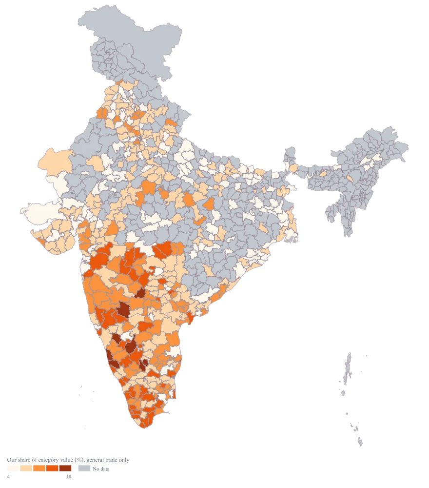
Copy two columns from Excel, paste them in, and Maps by India Layer draws a map of India: coloured by your numbers, or with a bubble sized to each value. By state, district, PIN code or constituency.
All 36 states and union territories in the spelling the map expects, with an empty value column to fill in.
Why this is usually slow
Excel’s own map chart handles states at best, often misreads Indian place names and cannot draw districts or PIN codes. Recreating the map in a design tool every time the data changes is slow.
Maps by India Layer reads the sheet the way you already keep it — one row per place, one column per number — and matches the places against official codes, so the map is right the first time and updates with a paste.
How it works
- Step 1
Pick the geography
All of India or one state, then the level: state, district, PIN code or parliamentary constituency.
- Step 2
Copy from Excel and paste
Select the columns in Excel, copy, paste. Or upload the .xlsx or .csv file directly. Nothing is uploaded to a server; the sheet is read in your browser.
- Step 3
Check the matches
Every row is matched to an area. Anything uncertain is listed for you to confirm, so no number lands on the wrong place silently.
- Step 4
Style and export
Choose a colour scale or bubbles, add a title and source, and download PNG or SVG.
Who uses it
Analysts preparing a deck
Turn the pivot table you already have into the slide you need.
FMCG and retail
Distributor coverage, sales by district or store density by PIN code.
Banks, NBFCs and fintechs
Branch footprint, loan book or customer concentration by district.
Logistics and e-commerce
Delivery volumes or serviceability by PIN code.
Questions
What should my Excel sheet look like?
One row per place and one column per number, with a header row: for example “State” and “Sales”. Extra columns are fine; you choose which one colours the map.
Does my data leave my computer?
No. The sheet is read in your browser and never sent to a server. Only the finished map image is created when you export.
Can I map PIN codes from Excel?
Yes. Choose the PIN code level and paste a column of six-digit PIN codes with their values; around 19,900 PIN areas are available.
Ready when your sheet is
Free. No GIS software. Your data stays in your browser.