Turn your spreadsheet into an India map.
Give your numbers a sense of place. Create beautiful district, PIN code and constituency maps, ready for your next presentation.
No GIS skills needed. Your data stays on your device.
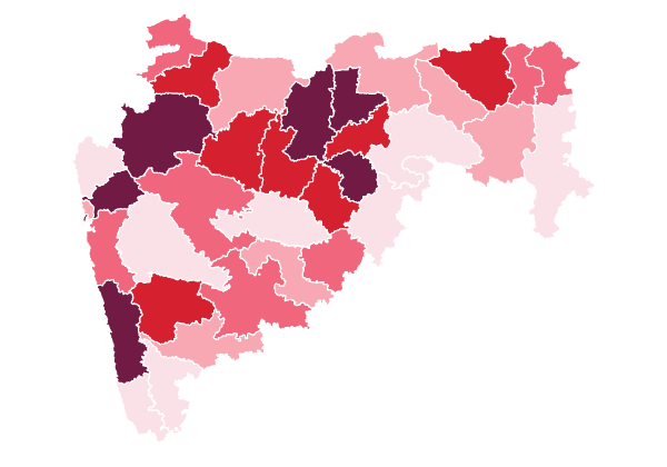
District colour map
Sales across Maharashtra
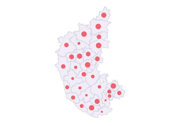
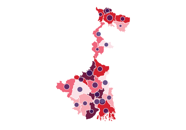
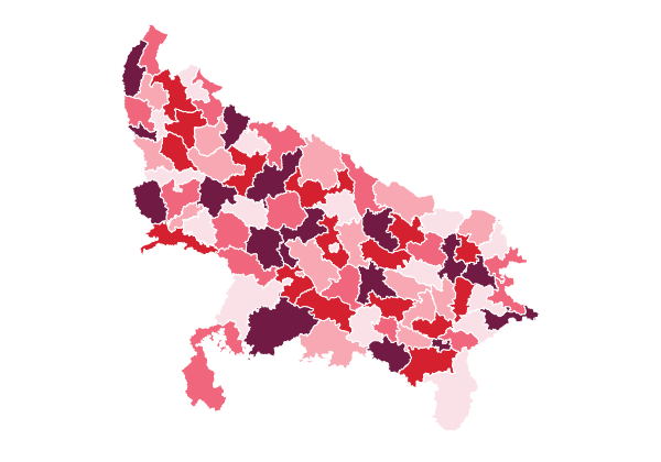
Four steps. Under two minutes.
- 01
Choose geography
Pick a state, then District, PIN Code or constituency. The map appears straight away.
- 02
Paste your data
Copy cells out of Excel. Columns are detected and names matched for you.
- 03
Make the map
Bubble, colour, or both. Change palette, labels, legend and title live.
- 04
Export
Download it. PNG, transparent PNG or SVG, free, and no ads at the moment.
Free. All of it.
Build, explore and export as much as you like. There is no advertising running at the moment, so there is nothing to watch and nothing to pay — pick a format and the file is yours, without a watermark.
Online
Create your map in the browser and export it.
No ads at the moment
PNG · transparent PNG · SVG · no watermark
Offline
Confidential data? One HTML file that works on your own laptop.
Coming soon
Everything is ready — we are just waiting for final approvals
Your data stays on your computer
The builder reads the data you provide directly on your device. Your values are not sent to IndiaMap. Use spreadsheets, CSV files or pasted data without uploading the underlying dataset to our servers.